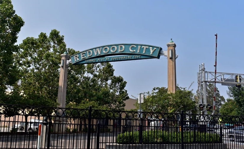
Redwood City officials made progress Monday in the complex quest to create a map that divides the city into separate voter districts.
Since September of last year, the city has been transitioning under threat of legal action from an at-large election system for city council members to a district-based system, which will have voters electing only the council candidates who reside in their district. As part of the transition, the city must create a map that divides the city’s 17 neighborhoods into seven council districts. The city has until March 31 to identify the map and complete the transition process.
During the third of five required public hearings on Monday, City Council narrowed down 24 proposed maps of varying district boundaries to five. Three of the maps were submissions by community members. They can be viewed at 7-007, 7-013, and 7-019. The other two were submitted by the city’s consulting demographer, the National Demographics Corporation (NDC). They can be viewed at 7-021 and 7-022.
NDC will revise those maps further based upon Monday’s direction by council. The revised versions will then be posted on the city’s website here, by Monday, Feb. 18.
Council will conduct a fourth public hearing on Feb. 25, as well as a fifth on March 11, when it is expected to adopt a final map.
The city aims to hold its first by-district elections in four of the seven districts in November 2020, and then, after redrawing the map based upon 2020 Census data, the remaining three districts will hold their first elections.
The city has conducted a wide-reaching public outreach campaign that included providing community members with online mapping tools to create proposed boundaries.
Monday’s public hearing yet again revealed the complexity of drawing up those boundaries, particularly in terms of location of schools, busy transit corridors and downtown.
By law, each council district must contain a nearly equal population, and they must not be drawn with race as the predominant factor, a violation of the Federal Voting Rights Act. There are also a set of criteria on drawing up boundaries fairly and sensibly.
However the map is drawn up, several councilmembers noted it will likely be redrawn in two years. U.S. Census data, which is collected every 10 years, becomes available in 2020.
“I do think there is an opportunity to learn and to make adjustments,” Councilmember Giselle Hale said. “And think about the neighborhoods that barely existed in 2010. Bair Island and downtown would have had very small populations [in 2010] relative to what we know them to be today.”
The city’s demographics are continuing to evolve, said Councilmember Shelly Masur, who stressed the importance that the district map follows “the letter of the law.”
“There are young families not just in Centennial,” Masur said. “In every single one of those neighborhoods, if you talk to realtors and renters, there are new families moving into all of our neighborhoods, which is amazing, and that’s how our city is changing.”
Mayor Ian Bain, who will term out of office before district elections take effect, said he “hates that we’re dividing up our city after doing so much to bring it together.”
“Once you’re elected…you represent the whole city,” Bain said.
The city is moving toward a district-based election system following threats of legal action that alleges the current at-large system violates the California Voting Rights Act in discriminating against minorities and minority candidates. Redwood City is among a growing list of jurisdictions transitioning because of this legal challenge.
Opponents of district elections argue they create an environment in which elected officials favor district issues at the expense of the city as a whole, and eliminate viable candidates who happen to live in the same district.