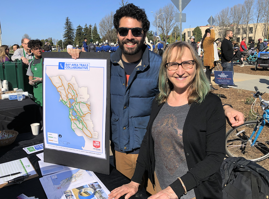
The Bay Area Trails Collaborative has unveiled its latest map of the 2,590-mile trail network that is evolving throughout the local region. The map options offer a glimpse at how the network aims to improve connections among the Bay Area’s bike and pedestrian routes—by linking existing and expected trails—while also bolstering the region’s health, economy and environment, per the collaborative’s website.
Chaired by the Rails-to-Trails Conservancy (RTC) and consisting of more than 50 member organizations, businesses and agencies, the collaborative’s updated maps for the trail network encompass nine Bay Area counties and numerous urban and rural communities of all sizes.
The maps include options for viewing by county and also bike, pedestrian or multiuse paths via the click of a button. Check out the interactive maps here.
Notable trail systems within the network include the 500-mile San Francisco Bay Trail hugging the bay’s shoreline; the 550-mile Bay Area Ridge Trail connecting the Bay Area’s ridgelines; the 1,200-mile California Coastal Trail along the state’s coast; and the 47-mile Napa Valley Vine Trail that winds through vineyards. Within the network are trail systems that are either complete or in development.
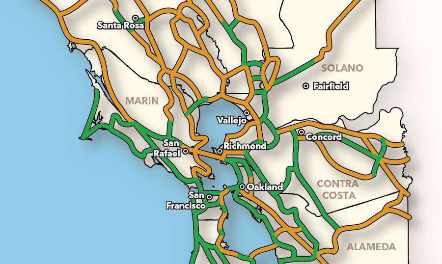
Nearly 60 percent of the regional trail network is built, per the collaborative, which underscored it as a smart transportation option given that 1 million Bay Area residents currently live within .5 miles of existing trails, and nearly 9 in 10 residents will live within two miles of the completed trail network.
It also will reportedly improve regional equity and health. When finished, the collaborative said 68 percent of people from disadvantaged communities will have access to safe biking, walking and trails. It added that by providing safe opportunities for exercise close to home, the trail network will support healthy living and help combat obesity.
The collaborative expects the finished trail network to be good for the Bay Area economy too; once completed, the group said it could potentially “spark new waves of outdoor tourism, small business investment and job creation.” The group highlighted a 2011 statewide study that found, over the course of the year, that Californians participated in about 1.5 billion days of outdoor recreation surrounding activities like walking, biking or running on paved surfaces for exercise and enjoyment, with trip expenses topping $4 billion.
Check out the interactive maps here and learn more about the Bay Area Trails Collaborative here.
Photo/Image: Courtesy of RTC